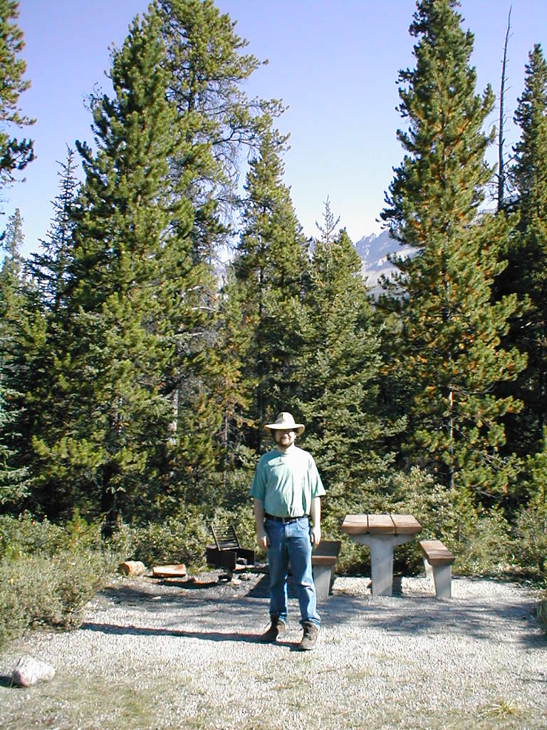
Me @ Overflow
Joy
took this picture of me as we were finishing breaking camp at the Waterfowl Lake overflow area.
The camp site was rather nice for an overflow area!
2001-08-15 11:47:42-05
Location
51°0'3.1"N 116°35'3.2"W
Alberta 2001
Camera: D370
people
9 Pictures nearby
[
-
( Range about 40 Miles )
+ ]
Me @ Overflow
0.000 Feet
Bishops Mitre
24.188 Miles
Six Glaciers Teahouse
24.916 Miles
Ledges
24.940 Miles
Looking Back
24.940 Miles
View More
There are thirtythree pictures within two days.
5 of them are:
Sunwapta Falls
2001-08-15 21:29:58-05
Sunwapta Falls
2001-08-15 21:26:44-05
Athabasca Falls upstream
2001-08-15 20:36:18-05
Athabasca river
2001-08-15 20:32:09-05
Athabasca Falls Canyon
2001-08-15 20:24:33-05
Full List
 View More