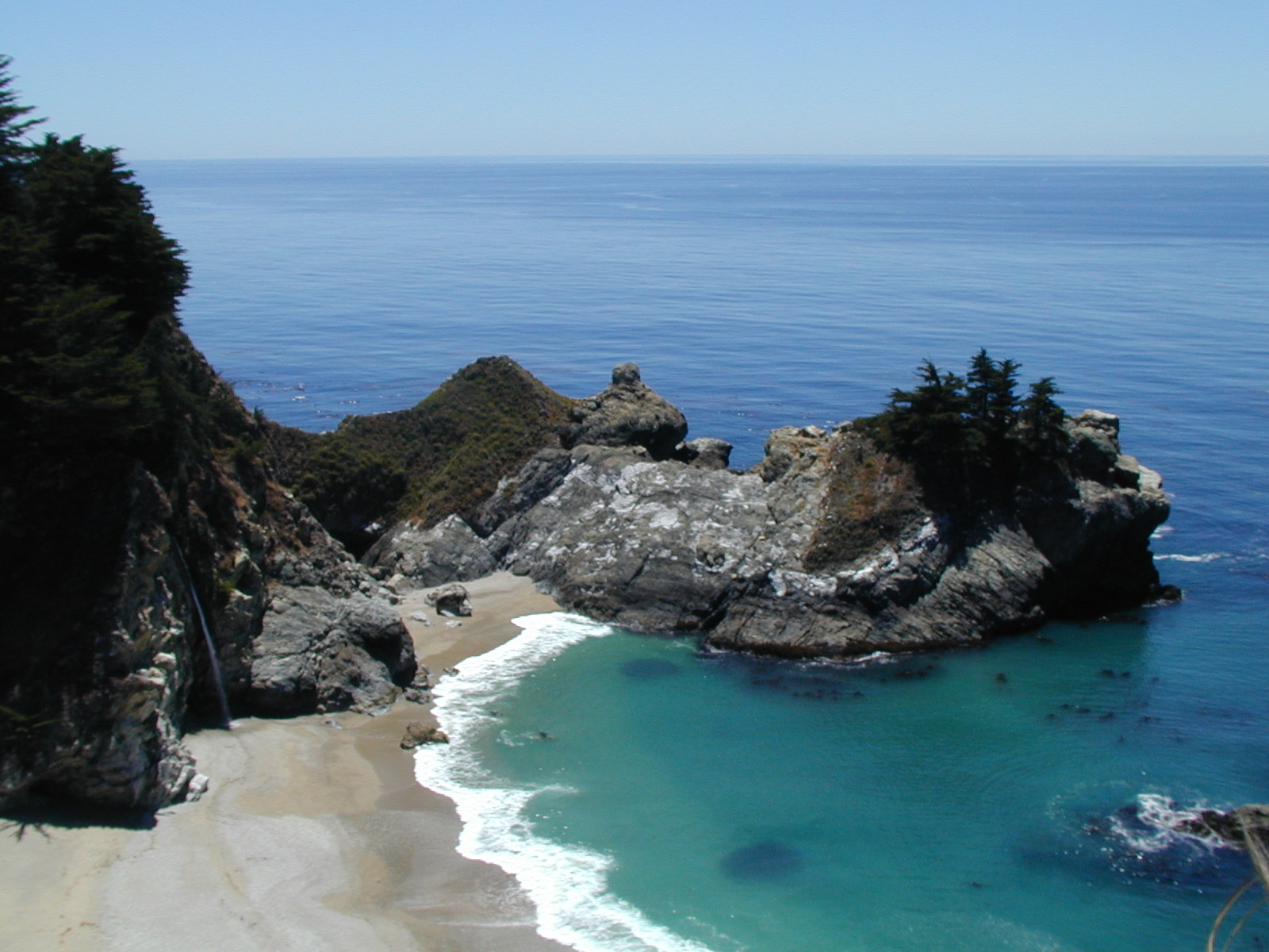
McWay Creek Falls
McWay Creek Falls at the Julia Pfeiffer Burns State Park in California.
This picture was pretty much the same as the picture on the cover of the guidebook we used.
2002-07-23 15:37:36-05
Location
36°9'32.6"N 121°40'21.8"W
California 2002
Camera: Andys
places
Travel
Wandering
Waterfalls
21 Pictures nearby
[
-
( Range about 204 Miles )
+ ]
McWay Creek Falls
0.000 Feet
Huge Tree
0.404 Miles
Me & A Tree
0.522 Miles
Spiderweb
0.522 Miles
Whale Watcher
16.328 Miles
View More
There are eleven pictures within two days.
5 of them are:
Lombard Street
2002-07-24 14:48:14-05
Golden Gate
2002-07-23 20:23:46-05
McWay Creek Falls
2002-07-23 15:37:36-05
Me & A Tree
2002-07-23 15:20:41-05
Spiderweb
2002-07-23 15:11:35-05
Full List

 View More