Glaciers
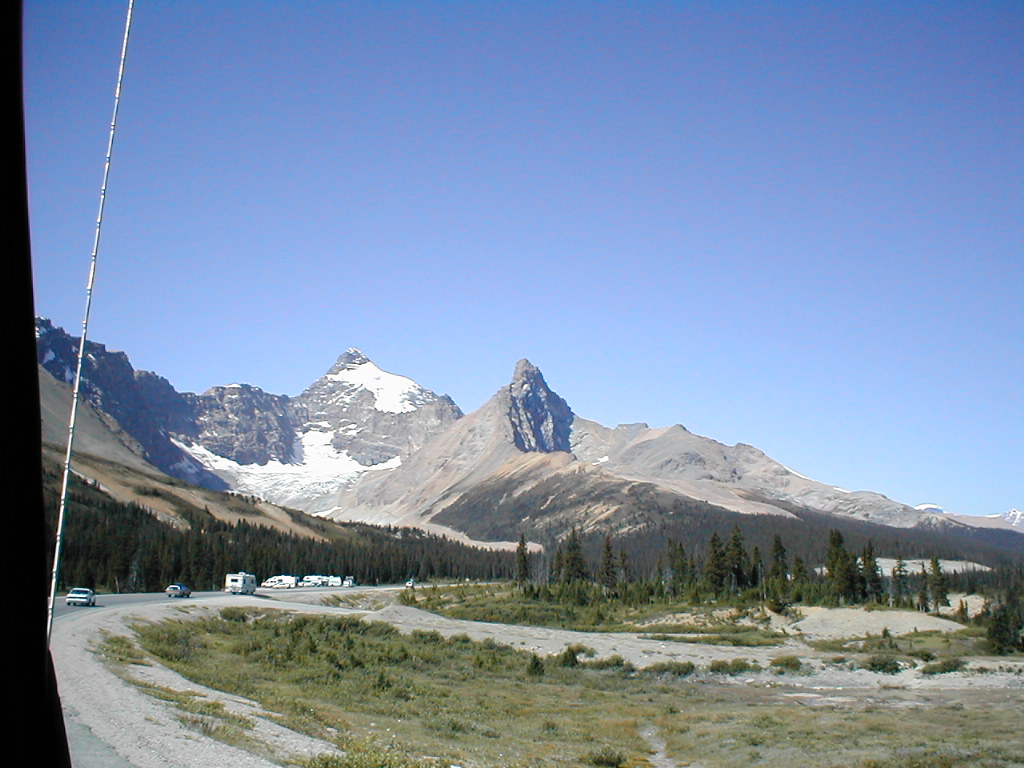
As the glaciers increase in size, it becomes obvious that we are approaching the Columbia Icefield...
2001-08-15 13:02:47-05
Location
52°11'35.2"N 117°7'26.4"W
Alberta 2001
Camera: D370
Travel
snow
18 Pictures nearby
[
-
( Range about 37 Miles )
+ ]
View More
Snowcoach Window
8.313 Miles
Hanging Glacier
8.706 Miles
Columbia Icefield
9.171 Miles
Bubbling Springs
29.103 Miles
Waterfowl Lake Camp
36.424 Miles
View More
There are thirtyone pictures within two days.
5 of them are:
Sunwapta Falls
2001-08-15 21:29:58-05
Sunwapta Falls
2001-08-15 21:26:44-05
Athabasca Falls upstream
2001-08-15 20:36:18-05
Athabasca river
2001-08-15 20:32:09-05
Athabasca Falls Canyon
2001-08-15 20:24:33-05
Full List
 View More
 View More