Overflow
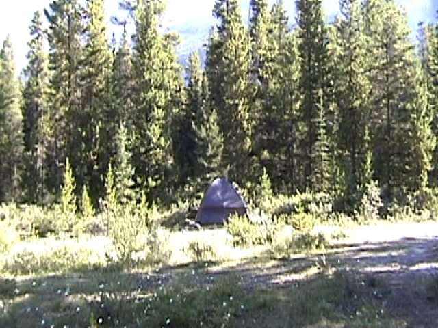
The waterfowl lake overflow area actually turned out to be pretty nice - it was basically a huge ring, with tent sites distributed along the outer edge.
as you can see, the sites were rather far apart...
2001-08-15 11:28:00-05
Location
51°48'3.1"N 116°35'3.2"W
Alberta 2001
Camera: DCR TRV-120
camping
25 Pictures nearby
[
-
( Range about 46 Miles )
+ ]
View More
Six Glaciers Trail
25.973 Miles
Lake Louise Delta
26.051 Miles
Chateau Lake Louise
26.120 Miles
Lake Louise
27.895 Miles
Me @ Switchback
34.571 Miles
View More
There are thirtythree pictures within two days.
5 of them are:
Sunwapta Falls
2001-08-15 21:29:58-05
Sunwapta Falls
2001-08-15 21:26:44-05
Athabasca Falls upstream
2001-08-15 20:36:18-05
Athabasca river
2001-08-15 20:32:09-05
Athabasca Falls Canyon
2001-08-15 20:24:33-05
Full List
 View More
 View More