London Skyline   
  
London Skyline

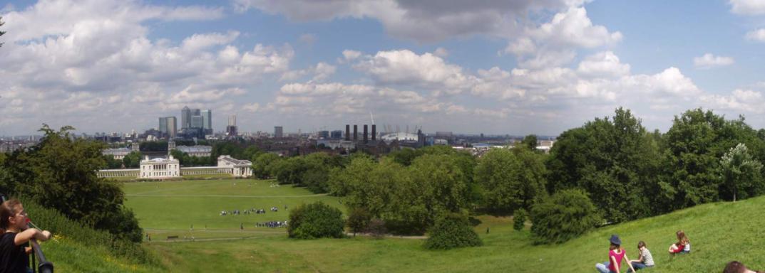
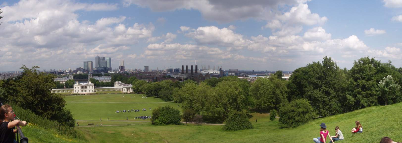
A panorama of the London Skyline, as viewed from the top of the hill that the Royal Observatory resides on, in Greenwich.

You can see the tallest building in London (The one with the pyramid on top) as well as the ill-fated millennium dome.

If you want a closer look, There is a QTVR of the view, and the full resolution image is located here.

2003-06-05 07:16:23-05

   Location   
  
51°28'38.0"N 0°0'0.0"E
MapQuest MultiMap
      
  
Attributes 
London
  
Panoramas
  
21 Pictures nearby
[- ( Range about 13 Miles ) + ]
View More

Picture Thumbnail Distance 
Hungerford Footbridge  Hungerford Footbridge   8.638 Miles   
Embankment Station  Embankment Station   8.727 Miles   
Rosetta Stone  Rosetta Stone   9.122 Miles   
Buckingham Palace  Buckingham Palace   9.821 Miles   
Victoria Station  Victoria Station   10.025 Miles   

View More
There are nine pictures within two days.
5 of them are:
Picture Thumbnail Timestamp 
Prime Meridian  Prime Meridian  2003-06-05 08:18:31-05  
London Skyline  London Skyline  2003-06-05 07:16:23-05  
Standards of Length  Standards of Length  2003-06-05 07:04:42-05  
Westferry train station  Westferry train station  2003-06-05 06:21:04-05  
Earls Court Station  Earls Court Station  2003-06-05 05:40:49-05  

Full List
click to email